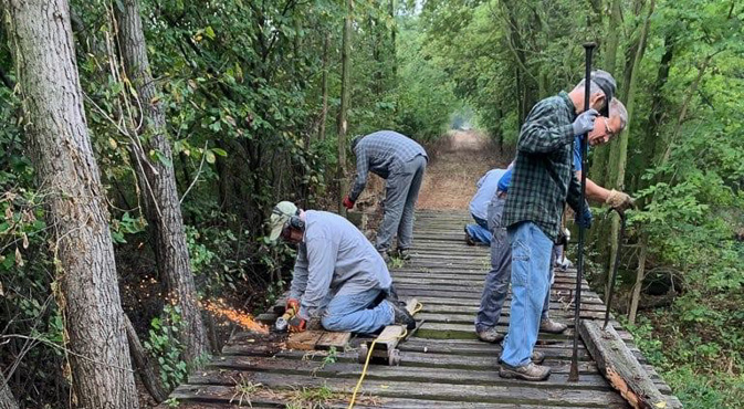
We are excited to announce that the Central Kansas Conservancy will celebrate National Trails Day & Earth Day on April 22nd, by featuring an exciting lineup of events on the Meadowlark Trail! Details on the event page.
Meadowlark Trail
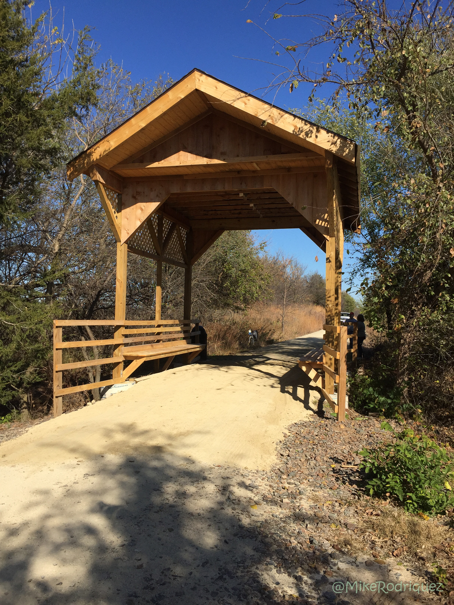
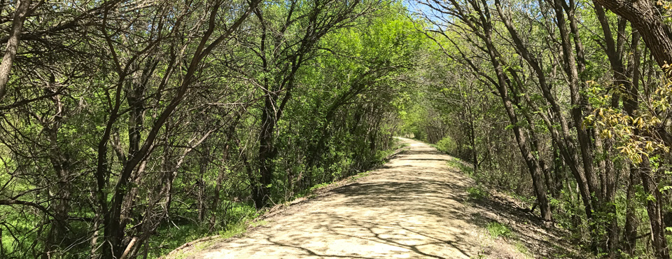
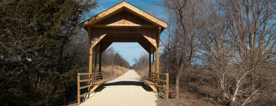
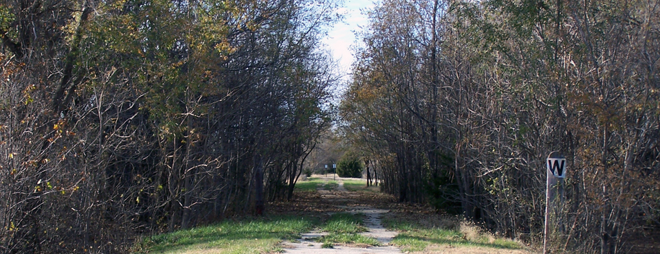
The Meadowlark Trail passes through gentle hills and creek valleys in the 12.6 miles between Lindsborg and McPherson on the old Union Pacific Railroad railbed. It crosses eleven bridges and, at one point, follows the east bank of the Smoky Hill River. Both trails travel through beautiful county – geologically rich area with several different…
Sunflower Trail
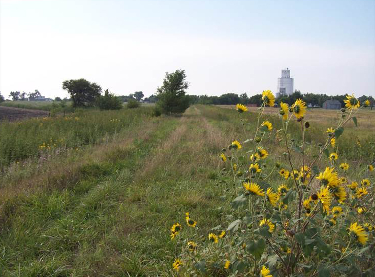
This is a multi-use recreational and nature trail between Marion and McPherson. The Sunflower Santa Fe Trail is located on the original Marion and McPherson Railroad that was a leg of the Atchison Topeka & Santa Fe Railroad. It travels a distance of 33 miles, beginning to the east in Marion and passing through the…
Join/Renew Membership
Why become a member? Your year-long membership allows you to participate in and support activities of the CKC. membership will allow you to help choose or become a board member at the annual meeting in February. Members will also receive: Emails about upcoming events and work days Board meeting notices Opportunity to participate in decisions…